The Om River flows in Western Siberia, penetrating the territories of the Omsk and Novosibirsk regions, and is a right tributary of the Irtysh.
The first known geographical data about the Om River is contained in the Drawing Book of Siberia, compiled by Semyon Remezov in 1701.
In 1937, on the first above-floodplain terrace of the right bank of the Om River, 10-12 kilometers northeast of the mouth of the Om in the Irtysh, the site of Bolshoi Log was discovered. This archaeological site, with an area of 2500 m², contained dwellings, as well as a complex of ceramics and implements of the late Kulai appearance.
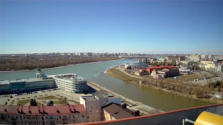
The source of the river begins on the Vasyugan Plain, starting from Lake Omsk, located in the Vasyugan swamps. Then the river flows through the Barabinskaya lowland, in a general direction to the west. The River Mouth is located in Omsk, located 1831 kilometers from the mouth of the Irtysh along the right bank.
Along the banks of the Om there are settlements such as Kalachinsk, Kuibyshev and Omsk, whose name comes from this river.
In the Novosibirsk region, the Om flows through the Ubinsky, Kuibyshevsky, Chanovsky, Vengerovsky, Tatarsky and Ust-Tarksky districts.
And in the Omsk region it passes through the Nizhneomsky, Kalachinsky, Kormilovsky and Omsk districts.