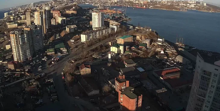
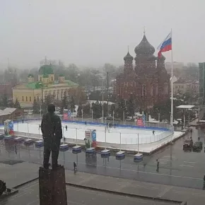
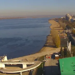
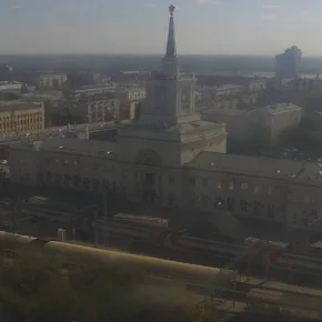
Through a live webcam you can watch the panorama of the city of Vladivostok. It occupies the Muravyov-Amursky Peninsula and has an area within the settlement of 325.99 km².
The city extends approximately 30 km from south to north and about 10 km from west to east, washed by the waters of the Amur and Ussuri bays, which are part of the Peter the Great Bay of the Sea of Japan.
Vladivostok includes five rural settlements and about 50 islands of the Peter the Great Gulf, forming the Vladivostok urban district with a total area of 590.14 km².
The river network in the region is underdeveloped and highly regulated, consisting mainly of small rivers and streams. The largest of them, such as Explanations, First River, Second River, Sedanka and Bogataya, flow from east to west and flow into the Amur Bay. There are also reservoirs on the Sedanka and Bogataya rivers.
