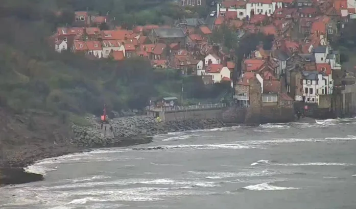
Robin Hood’s Bay is a village situated along the Yorkshire Coast in North Yorkshire, England. It’s positioned 6 miles (10 km) to the south of Whitby and 15 miles (24 km) to the north of Scarborough.
Originally, it was an ancient chapelry of Fylingdales within the wapentake of Whitby Strand. The village serves as a notable point along the Cleveland Way national trail and marks the conclusion of Wainwright’s Coast to Coast route.
Around the year 1000, neighboring places like the hamlet of Raw and the village of Thorpe (Fylingthorpe) in Fylingdales saw settlement by people of Norwegian and Danish origins. After the Norman conquest in 1069, a significant amount of land in Northern England, including Fylingdales, suffered devastation. William the Conqueror granted Fylingdales to Tancred the Fleming, who later sold it to the Abbot of Whitby.
The early reference to Robin Hood’s Bay dates back to the period between 1324 and 1346. Louis I, Count of Flanders, penned a letter to King Edward III in which he raised concerns about Flemish fishermen, their boats, and catches being forcibly taken to Robyn Oeds Bay. The initial settlements were located about a mile inland at Raw, but by approximately 1500, a community had grown along the coastline. In 1536, Leland mentioned “Robin Hoode Baye,” describing it as such.
