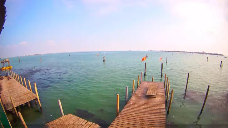
The Venetian Lagoon is an enclosed bay of the Adriatic Sea located in northern Italy and home to the city of Venice. Its name in Italian and Venetian, “Laguna Veneta”, is related to the Latin word “lacus”, meaning “lake”, and became the basis for the English term for such a closed body of salt water – the lagoon.
Venetian Lagoon Webcam
Location
The Venetian Lagoon has an area of approximately 550 square kilometers (212 square miles). This is approximately 8% of the total area, including the city of Venice itself and many small islands. About 11% is permanently covered by open water or channels that form a network of dredging channels, while the remaining 80% is mud flats, tidal flats and salt marshes.
The Venetian Lagoon is the largest wetland in the Mediterranean basin.
The lagoon is connected to the Adriatic Sea through three bays: Lido, Malamocco and Chioggia. Located at the end of a virtually isolated sea, it is subject to significant fluctuations in water levels, with the most extreme spring tides known as “acqua alta” in Italian, which translates to “high water”. These tides regularly flood large sections of Venice.
The adjacent Marano Grado lagoon, with an area of about 160 square kilometers (62 square miles), is the northernmost lagoon in the Adriatic Sea and is sometimes referred to as the “twin” of the Venetian lagoon.
