Our love for hiking and mountains began in Slovakia. It was in Slovakia that we first went on one-day mountain hikes. There we discovered the Carpathians, Slovak Paradise, and the Tatras. On our way to Slovakia, we passed through the Polish town of Zakopane, where the border between Poland and Slovakia runs through the Tatra Mountains. Even then, we took note of this town. When we had a long weekend, we decided without hesitation to travel to Zakopane.
It is worth noting that this trip to the mountains was much better planned than our trip to Slovakia. Everything started with preparing the necessary equipment, namely:
- hiking backpack
- mountain footwear
- comfortable clothing
We bought all of this at Decathlon. Trekking shoes, sports trousers that convert into shorts, hiking T-shirts, a 20-liter hiking backpack, and special hiking socks. For our child, we bought a backpack, binoculars, and, of course, trekking shoes. By the way, the 20-liter backpack turned out not to be very spacious, so for a family of three we would recommend a 30-liter backpack instead, so that a drone, warm clothes, snacks, and water can fit comfortably.
Accommodation
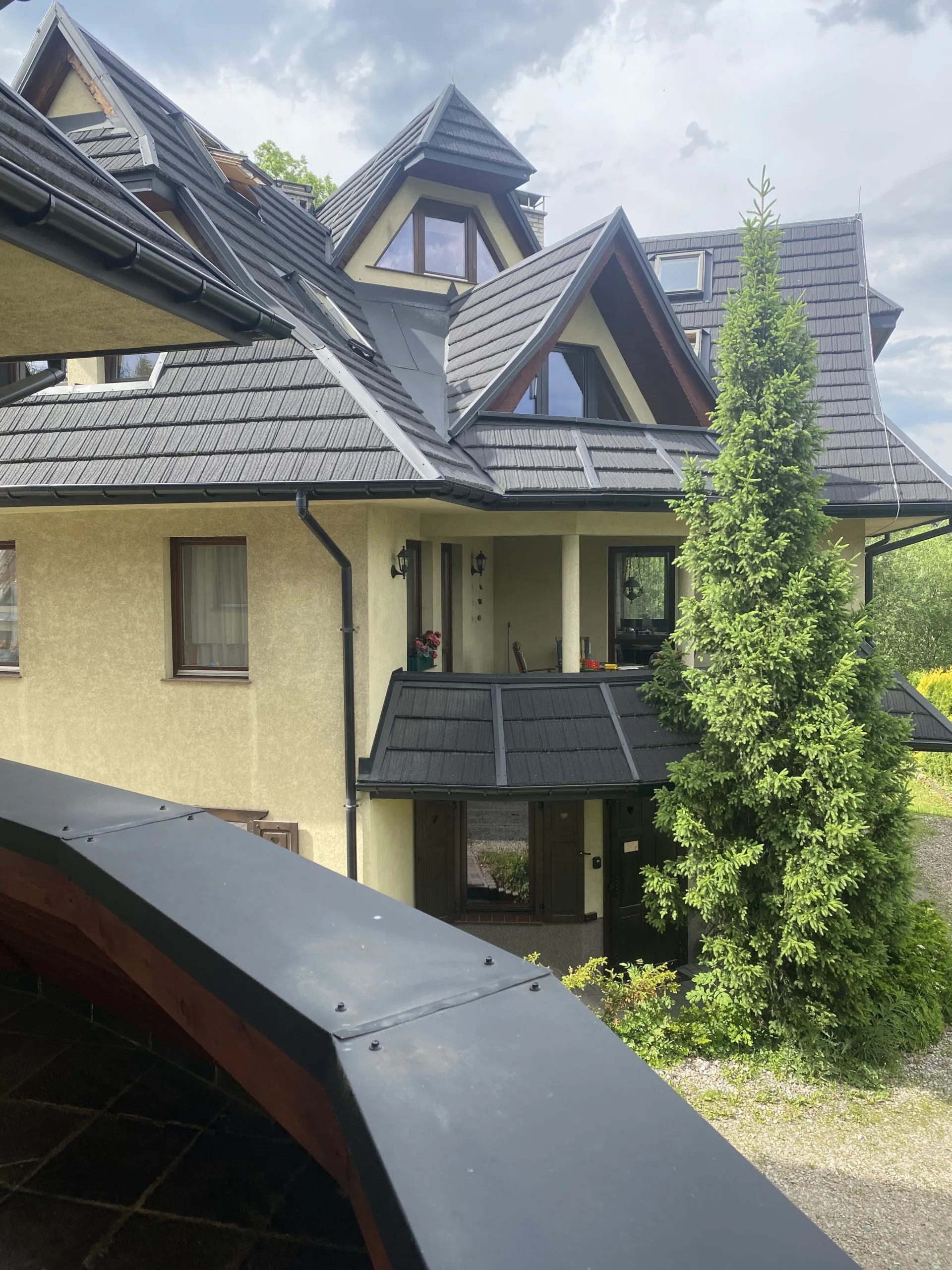
When everything was prepared, we started looking for accommodation in Zakopane. Apartments in the city center are more expensive than those on the outskirts or in nearby towns. Since our family prefers peace and quiet, we chose an apartment in the Kościelisko Valley. By the way, I forgot to mention that we searched for accommodation through Airbnb.
Zakopane has its own unique architectural style. Most buildings are three-story houses divided into separate apartments. Almost all apartments in these houses have fireplaces (since Zakopane is also a popular ski resort), fairly spacious kitchens, and terraces.
Since we live in Riga, the capital of Latvia, we decided to travel by our own car. Besides, you need a car to reach the starting points of many hiking routes. The drive from Riga to Zakopane takes about 13–14 hours (approximately 1,117 km). It would be difficult for a single driver to complete the trip without breaks, but since both of us have driving licenses, the journey was not very challenging. If, like us, you decide to travel by car, our advice is to make sure your apartment has parking available, as not all accommodations provide it.
What Should You Take With You?
This question always comes to mind when you know you will be going hiking. Mountain hikes, both in winter and summer, can be dangerous, so based on our experience, here is an approximate list of things worth taking in your hiking backpack:
- Warm clothes – yes, they are necessary even in summer, as strong and cold winds are common on mountain peaks.
- Headwear – caps, hats, or whatever you prefer. Even if you do not feel hot, remember that ultraviolet radiation is much stronger in the mountains.
- Sunscreen – preferably SPF 50. You may be walking on snow at the summit while the sun is still blazing. It is advisable to reapply sunscreen throughout the hike when the sun is shining.
- Bandages, plasters, and hydrogen peroxide – these are worth carrying. Blisters can develop without you noticing, and it is very easy to scratch or scrape your skin in the mountains or caves (speaking from personal experience).
- Water – although there is a rule for winter mountain hiking that says “drink less, sweat less,” for summer hikes it is always better to carry water with you.
- If you plan to visit caves along mountain hiking routes, you should purchase a headlamp.
- Some routes include chains or extremely steep climbs. In our experience, it is best to bring a pair of gloves (cycling gloves work perfectly well).
What you take with you on the trip is entirely up to you. In our case, we traveled in tracksuits and brought separate clothes for going into town. As for equipment, we took a drone. We had planned to bring an action camera as well, but its lens broke shortly before the trip, so we used our phones instead.
Planning Routes
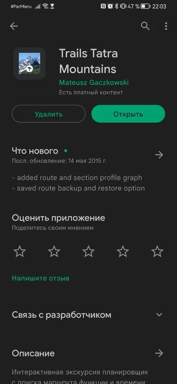
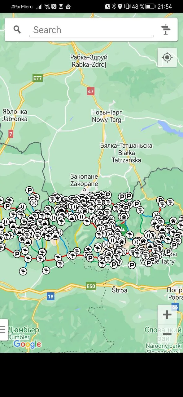
All that remained was to roughly plan the routes we wanted to hike. We used Google Maps to plan them, but it does not show trail colors or provide descriptions of the trails and their difficulty levels.
For those planning to visit the Tatras from the Polish side, we recommend downloading the Mapa Turystyczna app from Google Play. There you can create your own route, and it also shows parking areas near trail entrances and the trail color.
As we learned during our hikes, the trail color has nothing to do with its difficulty level. The app shows how many kilometers your chosen route will be and what exactly awaits you along the way.
And that is basically it. The bags are packed, the car is fueled, and the hiking plan is ready. All that remains is to hit the road. More about that in the next article.